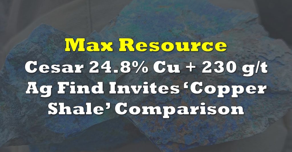
Exploration continues for Max Resource Corp (TSXV: MXR) at their wholly owned Cesar copper-silver project in Colombia. The firm this morning announced that it will be conducting a LiDAR survey over the URU zone on the property.

The survey is being conducted as the first step in their previously announced plan to begin drilling out the zone. The survey is expected to provide the company with high priority drill targets, which they can then match to their data previously collected from extensive sampling within the zone.
A total of 600 line kilometres are to be flown via the survey, with spacing occurring at 250 metre intervals. The survey is expected to cover a total of 290 square kilometres, which will then provide the firm with a starting point for a multi-dimensional model of the zone.
“LiDAR assistance in building an accurate 3D model will be key in maximizing the success of Max’s virgin drill
program at URU, being the first significant exploration event in the Cesar basin since the discovery of Cerrejón,
the largest coal mine in South America and the basis for much of the critical infrastructure in the Cesar basin,” commented Max Resource CEO Brett Matich on the announcement.
Max Resource Corp last traded at $0.205 on the TSX Venture.
FULL DISCLOSURE: Max Resource Corp is a client of Canacom Group, the parent company of The Deep Dive. The author has been compensated to cover Max Resource Corp on The Deep Dive, with The Deep Dive having full editorial control. Not a recommendation to buy or sell. We may buy or sell securities in the company at any time. Always do additional research and consult a professional before purchasing a security.

