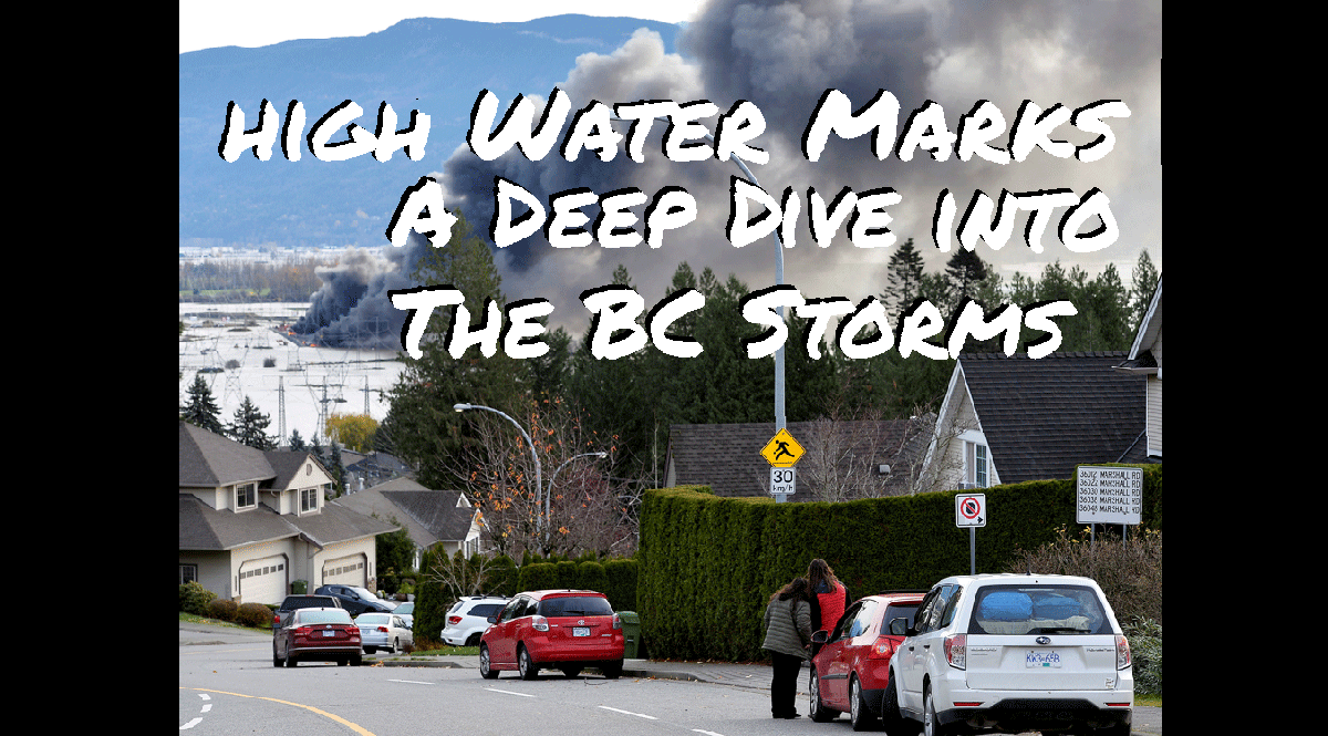

An “atmospheric river event” dumped about two months worth of rain on BC’s Lower Mainland in the span of three days last week, causing river levels to rise and hillsides, formerly held together by the roots of trees, to wash down over highways and rail lines in high speed torrents of mud and debris. The Province has declared a state of emergency as the effected regions are evacuated, and they generally figure out what to do with all of this water.


Here in the city of Vancouver, the effects are mostly indirect, and the threats more conceptual. The government is adamant that consumers avoid panic buying, which is often a self-fulfilling prophecy; demand for groceries melt up like small-cap stocks when the idea gets out that there might be a problem with supply. “Remain calm,” isn’t the sort of thing people want to hear when the region’s primary farming engine is under water.

The Fraser Valley is BC’s primary agricultural region, accounting for most of the province’s dairy production, all of its egg production, and the vast majority of its commercial poultry. It’s also an important agricultural area, and the home of most of the province’s bee-keeping. Colonies from the Fraser Valley are used as contract pollinators in the fruit growing areas of the Peace Valley and Okanagan. Farmers have done all they can to save all the livestock they can, but it’s not yet clear what effect these floods will have on any of this production going forward.

The Sumas Prairie was invented in the 1920s, when it was drained to create some of British Columbia’s most fertile and important agricultural land. A system of levees and dykes that kept the respective waters of the Fraser, Vedder, and Sumas rivers out of the basin was overwhelmed by the rain from this monsoon on multiple fronts.
Its weakest point, the Barrowtown Pump Station, remained operational through the deluge by virtue of a volunteer sandbagging effort. The “perfect storm” came as a full moon swelled the tides, raising the baseline level of the Fraser River and preventing spill-gates that would allow the water to drain from being of any use.


In the era of inter-provincial and international commerce, BC’s farms aren’t an insular economy. Much of the Lower Mainland’s food is imported, so production setbacks themselves won’t starve the region. But these farms being under water at the same time that literally every major Provincial highway going in or out of the Lower Mainland has been washed out, and the rail lines too, could spell trouble.

Highways 1, 3 and 5 are all limited to essential travel only at the time of this writing, as BC Highway crews work to get the roads in a condition to take traffic again. It isn’t yet clear, though, the extent of the engineering and construction required to make these roads safe from future slides for the duration of this West Coast winter and beyond. The ground having already been saturated, geotechnical risk may be difficult to assess.
/https://www.therecord.com/content/dam/therecord/opinion/editorials/2021/11/19/to-glimpse-our-climate-future-see-flooded-bc/flooding.jpg)
Business in Vancouver has the best overview to date of the logistical nightmare being faced by the transportation sector.
Compounding the shipping nightmare is the fact that the Trans-Mountain pipeline, which ships 300,000 barrels of oil equivalent per day to Burnaby to be refined into the fuel used in BC vehicles has also been shut down by this weather event. Lower Mainland fueling stations are presently limiting gasoline purchases to 30 litres at a time, and consumers are being asked once again to avoid panic buying.
In the near term, it appears as though the Lower Mainland and Vancouver Island will increasingly rely on the United States for its food and petroleum, while the portion of the province east of the slides leans on Alberta. Border restrictions have been lifted for travelers trying to get in and out of the Lower Mainland the long way, and one expects that retailers will be able to source food and essentials from US suppliers rather than leave shelves empty.
Once these supply relationships have been established, it’s worth wondering if they’ll endure beyond the re-opening of these highways, changing the supply profile of the province and its role in inter-provincial and international trade for good.
The author has no securities or affiliations related to this organization. Not a recommendation to buy or sell. Always do additional research and consult a professional before purchasing a security. The author holds no licenses.