
A magnitude 7.3 earthquake off Mexico’s southern Pacific coast forced authorities to manage two emergencies at once Friday: the possibility of coastal flooding near the epicenter and the uneven reach of a seismic warning network across one of the country’s most earthquake-prone regions.
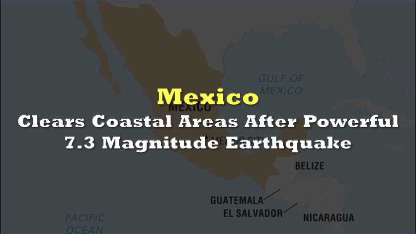
The earthquake struck near Chiapas and the Guatemala border on Friday, shaking communities from southern Mexico through Guatemala and El Salvador.
The US Geological Survey placed its depth at approximately 15.2 kilometers after revising an earlier estimate that classified the event as a magnitude 7.4 quake at a depth of 10 kilometers.
 Sponsored · Cambria Gold Mines
No deaths, serious injuries, or major structural damage were immediately reported.
The US Tsunami Warning System initially said hazardous waves were possible along coastlines within 300 kilometers of the epicenter. It estimated that some areas of Mexico and Guatemala could experience waves between 0.3 and 1 meter above normal tide levels.
Mexico’s Navy issued a more limited forecast. Navy Secretary Raymundo Morales said water levels were not expected to rise by more than approximately 0.5 meter, but authorities still instructed residents to avoid beaches and coastal areas.
The Associated Press reported that people were advised to remain away from beaches for six hours. The restriction reflected the possibility that changing sea levels and strong currents could remain dangerous even without a large, destructive wave.
 Sponsored · Selkirk Copper Mines
Later assessments cited by Spanish-language media said the possibility of a damaging tsunami had been ruled out. The warning nevertheless triggered a precautionary response across an international coastline before authorities had complete information about the earthquake’s offshore effects.
The US National Weather Service said the event posed no tsunami threat to California, Oregon, Washington, Alaska, or Canada’s Pacific coast.
The USGS located the epicenter roughly 48 kilometers southwest of Aquiles Serdán, Chiapas. Another measurement placed it approximately 71 kilometers southwest of Puerto Madero, underscoring the normal variation between rapidly issued location estimates.
Residents evacuated buildings in Tapachula as the shaking intensified. People also left homes and offices in Guatemala City during the morning rush hour, while tremors were reported as far away as El Salvador and Mexico City.
At least five notable aftershocks followed, ranging from magnitude 5.1 to 6, according to the Associated Press. Emergency agencies continued inspections because aftershocks can worsen damage that is not immediately visible.
Mexican President Claudia Sheinbaum said early reports showed no significant damage. Guatemala’s President Bernardo Arévalo also said no casualties had been identified in the first assessments and urged residents to follow official safety instructions.
The earthquake was felt in parts of Mexico City, but the capital’s public seismic alarm did not activate. El País reported that Chiapas lacks complete coverage from the sensors feeding Mexico’s alert network. By the time the earthquake’s energy reached covered areas farther northwest, preliminary readings reportedly did not exceed the threshold required to activate the capital’s warning system.
The episode highlights an operational problem extending beyond the immediate damage count. A shallow offshore earthquake close to an international border required agencies in several countries to interpret rapidly changing magnitude, depth, and tsunami estimates, while communities received different forms of warning depending on their location.